



地球在线-卫星地图
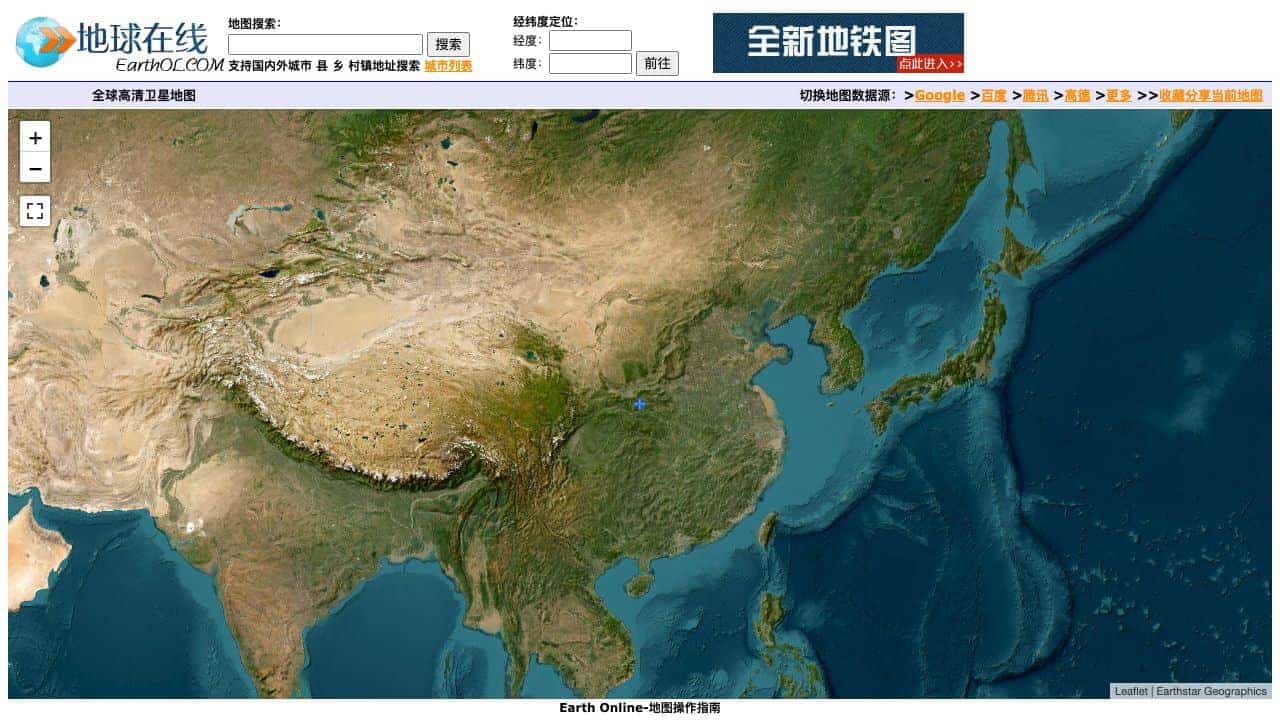
An online satellite map tool offering global high-definition satellite imagery with multiple data sources and geographic exploration features.
Score
30
User Rating
3.0
Free/Trial Support
Supported
Starting Price
--
Last Updated
Aug 04, 2026
Overview
What is 地球在线-卫星地图?
Earth Online is a web-based satellite map service that provides access to global high-definition satellite maps, allowing users to explore terrain, switch between data sources like Google and Baidu, and perform geographic tasks such as coordinate positioning and map sharing.
What is 地球在线-卫星地图 used for?
Top Features
- global satellite imagery
- multiple map data sources
- coordinate positioning
- map sharing
- terrain and ocean maps
How to use 地球在线-卫星地图?
Use the tool by dragging to move the map, scrolling or using buttons to zoom, clicking for full-screen mode, and sharing maps via generated links. It supports various map types like terrain and ocean maps.
Alternative Tools
No alternative tools found
Pros & Cons
Pros
- free to use
- easy navigation
- supports multiple data providers
- useful for geographic research
Cons
- limited to web platform
- may have data latency
Use Cases
- educational geography lessons
- travel planning
- urban development research
- personal exploration
地球在线-卫星地图 Pricing
Free Plan
No detailed pricing information available
User Reviews
3.0
out of 5
3.0
No reviews yet
Be the first to review this tool!